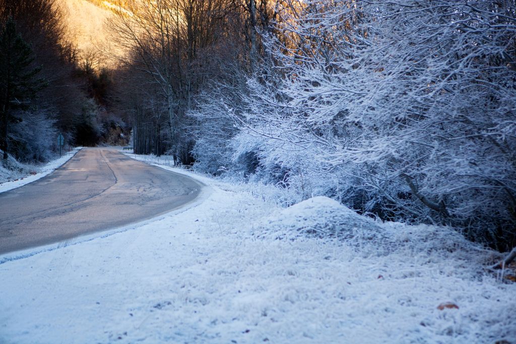
Winter Storm Stella: Winter Storm Warning Issued For The DMV
Source: Carol Yepes / Getty
WINTER Storm Warning REMAINS IN EFFECT FROM 7 PM THIS EVENING TO 2 PM EDT TUESDAY…
- Precipitation type: Snow…mixed with sleet at times overnight.
- Accumulations: Snow and sleet accumulation of 4 to 8 inches, greatest northwest of Interstate 95 and in the higher foothills.
- Timing: Snow will overspread the area this evening and persist through Tuesday morning. The heaviest precipitation will be late tonight.
- IMPACTS: The heavy snow will create difficult travel conditions and may produce scattered power outages.
- Winds: Northeast 10 to 15 mph with gusts up to 30 mph.
- Temperatures: In the lower 30s.
Recommended actions
A Winter Storm Warning for heavy snow means severe winter weather conditions are expected or occurring. Significant amounts of snow are forecast that will make travel dangerous. Only travel in an emergency. If you must travel, keep an extra flashlight, food, and water in your vehicle in case of an emergency.
During
- Stay indoors during the storm.
- Prolonged exposure to cold can cause hypothermia.
- Walk and drive carefully on icy sidewalks and roads.
- Many injuries and accidents are caused by slippery conditions.
- Before driving, let someone know your destination, route, and expected time of arrival.
- If your car gets stuck, it’ll be easier to find you.
- If you lose feeling and color in your nose, ears, hands, or feet, cover the exposed area, avoid rubbing your skin, and seek medical help immediately.
- You may have frostbite.
- When shoveling snow, take breaks and lift lighter loads.
- Working too hard can lead to heart attacks.
- Stay dry.
- Wet clothes make you lose body heat, increasing your risk of hypothermia.